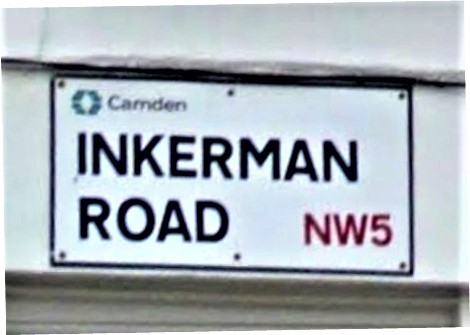
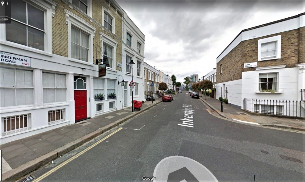
It begins at Grafton Road and ends in dead end. This road owes its name to the Battle of Inkermann (current spelling with a single n) which took place near Inkerman on November 5, 1854, between the Russian army and the Franco-British allies during the Crimean War.
Inkerman road (Google map-Street view)
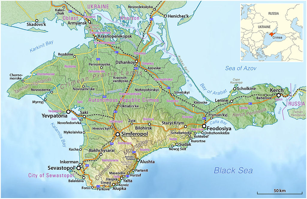
The city of Inkerman is located 5km east of Sevastopol on the Chorna River.
Physical map of the Crimea (From Wikimedia Commons)
The Battle of Inkerman is the third major engagement of the Crimean War, between the Allies and the Russian on the Crimean Peninsula.
The lieutenant-general, Lord Raglan, commanded the British army; General Canrobert commanded the French army, and Prince Menshikov commanded the Russian army. The numbers of troops involved in the battle were: British; 8,500 and 38 guns; French; 7,500 and 18 guns; Russian; 42,000 and 134 guns. The battle ended with the defeat of the Russian forces. As for the victims of the battle of Inkerman, the English had 597 dead and 2163 wounded, the French had 229 dead and 1551 wounded and the Russians had 3288 dead and 6928 wounded.